Health & Fitness
Here comes snow....but how much???
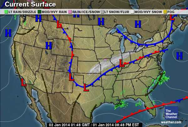
Like soccer, the Europeans seem to be better at weather forecasting than the Americans over the last few years. It was the European model that forecast all that snow in October two years ago and also the European model that suggested (correctly) that Sandy would turn west and back in from the Atlantic. We all remember well how that one turned out. So the Euro model again seems to be correct over others and the storm system (aided by a back door cold front that is moving in over the northeast) is moving at a slower pace and will redevelop once it hits the east resulting in what will likely be a substantial snow event. Ok, so lots of weather terms to decipher. First, what is a back door cold front? Traditionally systems in the northern hemisphere move from a west to east direction (aided by an upper air flow called the jet stream). If you've ever flown round trip to California and you think the trip there takes a lot longer than the return trip, it does. That is the jet stream slowing you down with headwinds slowing your progress when you head west. So a back door cold front is when a system slips in from the north or east over our area ('backing' in). In January, these systems generally stink because they bring in bitterly cold temps. This is the one I wrote about a few days ago.at the time located over Canada. This one is no exception and temps will plummet from here forward. This front could be our friend or could hurt us depending on where in the snow bands you are. There is another factor in the track of the storm (by the way, these storms are ALL about track). Even a slight variation in track could result in snowfall totals being way below (or above) forecast. I think track is going to play a crucial role with this event. Just off shore, see the big blue H? That is a blocking high which the Euro model is saying will slow the back door cold front from moving too much farther south or east. I believe it has been the basis for the Euro model all along for this event. If that system shifts a little, the storm track will be farther south and snowfall totals could actually increase for CT and decrease for areas north. Here is another term: Winter Storm Warning: Pretty simple definition: Seven inches or more of snow within a 24 hour period. A blizzard warning is a different matter and if we get put under one, (which still is a possibility), I will describe here. So with all the technical stuff out of the way: I think the storm is going to track a little farther south than the maps are indicating right now which will put us on the higher side of accumulations with over a foot for West Hartford. For the kids, my school prediction: Tomorrow will be touch and go with early dismissal likely and a 50/50 shot at full cancellation. Friday looks like at the very least a two-hour delay (depending on when the snow heads out to sea) and a higher probability of a full cancellation.